A
A
A
San serif
Serif

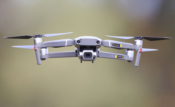
Engineers from Australian startup Emesant introduced a new tracking system and mapping in real time using drones. Now drones can fly in caves, reports Faina Idea.
The development was equipped with GPS navigation and a system of anti-collision sensors that will help drones fly around obstacles and navigate well in confined spaces.
Startup experts also developed Hovermap technology, which allows you to quickly and accurately draw full-fledged 3D maps of underground landscapes based on drone data.
According to belta.by, the development will help rescuers find people lost in caves.
The initial cost of the startup is $ 2.5 million.
© All rights reserved. Citing to www.ict.az is necessary upon using news