A
A
A
San serif
Serif
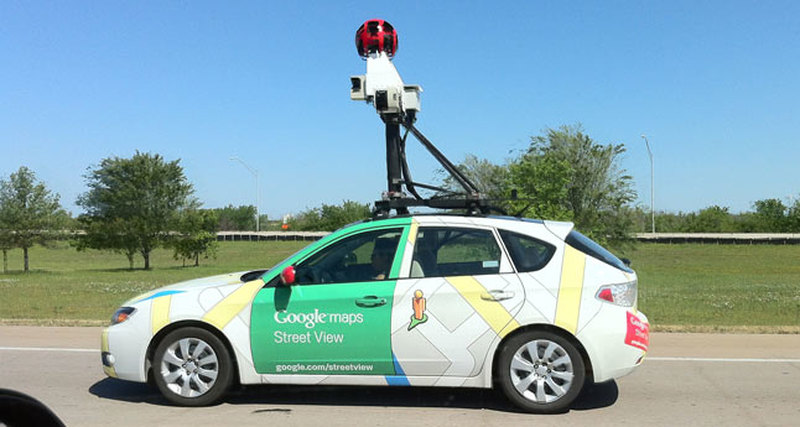
The Google Street View system and vehicles equipped with special sensors helped researchers from the United States draw up a map of air pollution in the Californian city of Auckland.
Material on the relevant scientific work was published in the pages of the publication Environmental Science and Technology.
"For the first time, we created such a detailed air pollution map using relatively simple technologies, everything we used is a service in Google Maps, as well as cars with sensors developed by ACLIMA specialists," the authors of the project say, the employees of the Austin-based Texas University.
According to scientists, it took them quite a long time to compile a detailed map of the contamination of the city's airspace - about one year, planet-today.ru reports.
The results, however, surpassed all expectations. It turned out that the purity of urban air is a very variable indicator, which can vary even within a single district. At the moment, American scientists are trying to interpret the data and apply them to develop projects for air purification.
© All rights reserved. Citing to www.ict.az is necessary upon using news