NEWS
AI helps GPS navigators navigate interchanges

Scientists have developed a neural network that will help GPS navigators navigate the interchanges and will prompt you in time when you need to change the lane. The work of researchers from the Massachusetts Institute of Technology and the Qatar Research Institute of Computing Institute is published on the MIT website.
Navigation applications that determine the location of a car or smartphone using satellite data have made travel much easier.
However, they still have a significant drawback - the accuracy of determining the location is insufficient to understand which lane the car is in. As a result, the navigator is often mistaken when trying to tell which lane you need to change lanes in order not to miss the desired turn at the intersection.
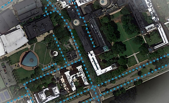
According to hightech.fm, engineers have now figured out how to solve this problem - they created a neural network that uses satellite imagery to supplement existing map data, and also “draws” satellite imagery when the car is hidden behind trees or buildings.
The system was called RoadTagger - during the tests it was able to accurately determine a number of additional details about the roads, in particular, the number of lanes on them.
These data will help to warn the driver in advance of the divergence or merging of lanes.
© All rights reserved. Citing to www.ict.az is necessary upon using news


