NEWS
The drone was taught to fly fast with the readiness to switch to the alternate route

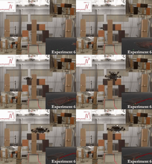
Engineers taught small drones to fly fast in a difficult environment with incomplete terrain data, constructing an emergency safe route on the fly. If the drone cannot continue the effective and fast route built by the system in advance, then it will switch to the backup plan to the critical point of divergence of trajectories. The article is available at arXiv.org, and MIT News briefly describes the work.
Developers of modern drones (both unmanned aerial vehicles and cars), as a rule, are guided by the principle of "the only optimal and safe route." Usually, a drone for this purpose continuously collects environmental data and constantly slightly corrects the trajectory of movement. Despite the obvious advantages of this approach, it also has its drawbacks - such systems often require huge computing resources to process information from sensors in real time, which is poorly suited for small drones due to the inability to install a powerful computer, and is practically incapable think ahead ”, which reduces the overall speed of movement.
Engineers from the Massachusetts Institute of Technology have created the FASTER optimization algorithm, which optimizes the drone's travel route, taking into account the emergency trajectory and the braking points for approaching it in advance. The system works as follows - the drone scans the surrounding space in a small radius on the fly, building a three-dimensional map with incomplete information - the system knows which areas of the space around are occupied by objects, which are free (that is, accessible for flight), and which are unknown (for example, the area rooms around the corner).


