INSTITUTE OF INFORMATION TECHNOLOGY
Military technology taught to create 3D maps of the area in minutes
November 18, 2019 | 10:29 / Technological innovations
Civilian technologies are often used in the military industry, but sometimes the reverse process also occurs. Aerial photography, which has become a familiar tool for reconnaissance, has received a new use case - with its help, the computer has learned to create volumetric maps of the area for any task without human help.
Phototopography is the process of comparing various images of the same area to create its 3D model. This method has been known for a long time, but previously human intervention in the assessment process was required - it was necessary to manually select the frames that are best suited to achieve optimal results.
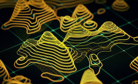
A new method of image processing, developed by the American company Geospatial Research Laboratory, allows the computer to convert photos and videos into accurate three-dimensional terrain maps in real time without operator assistance. The third measurement in the resulting diagram is marked with red color, the intensity of which increases with the height of the object.
The technology has already been tested in the US Army, but the published patent also allows the commercial use of the new mapping method. Although real-time photogrammetry does not completely replace ground-based topographic systems, it will complement their data. In the future, cartographic services based on new technology will be able to be used not only by the military, but also by civil services, as well as private users.